

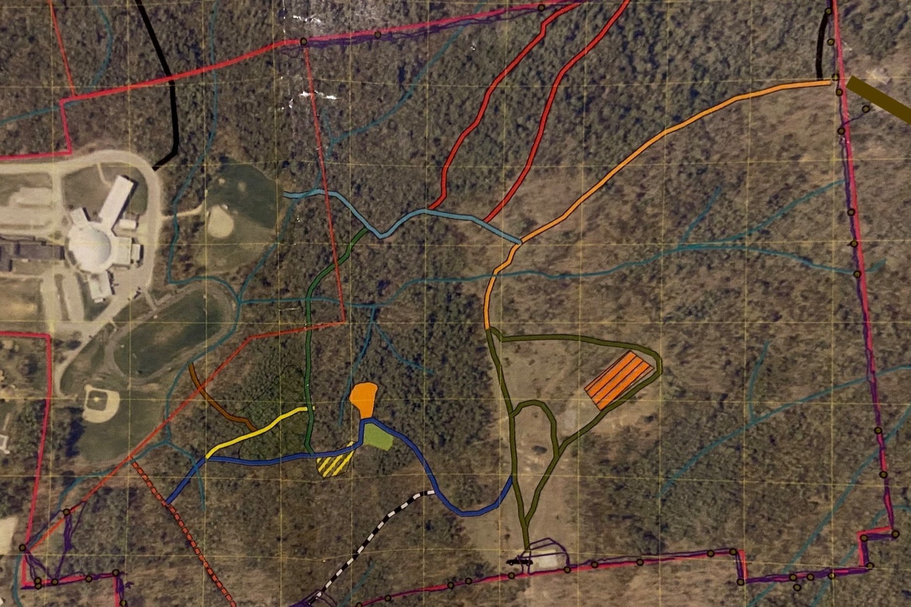
Aerial Digital Mapping
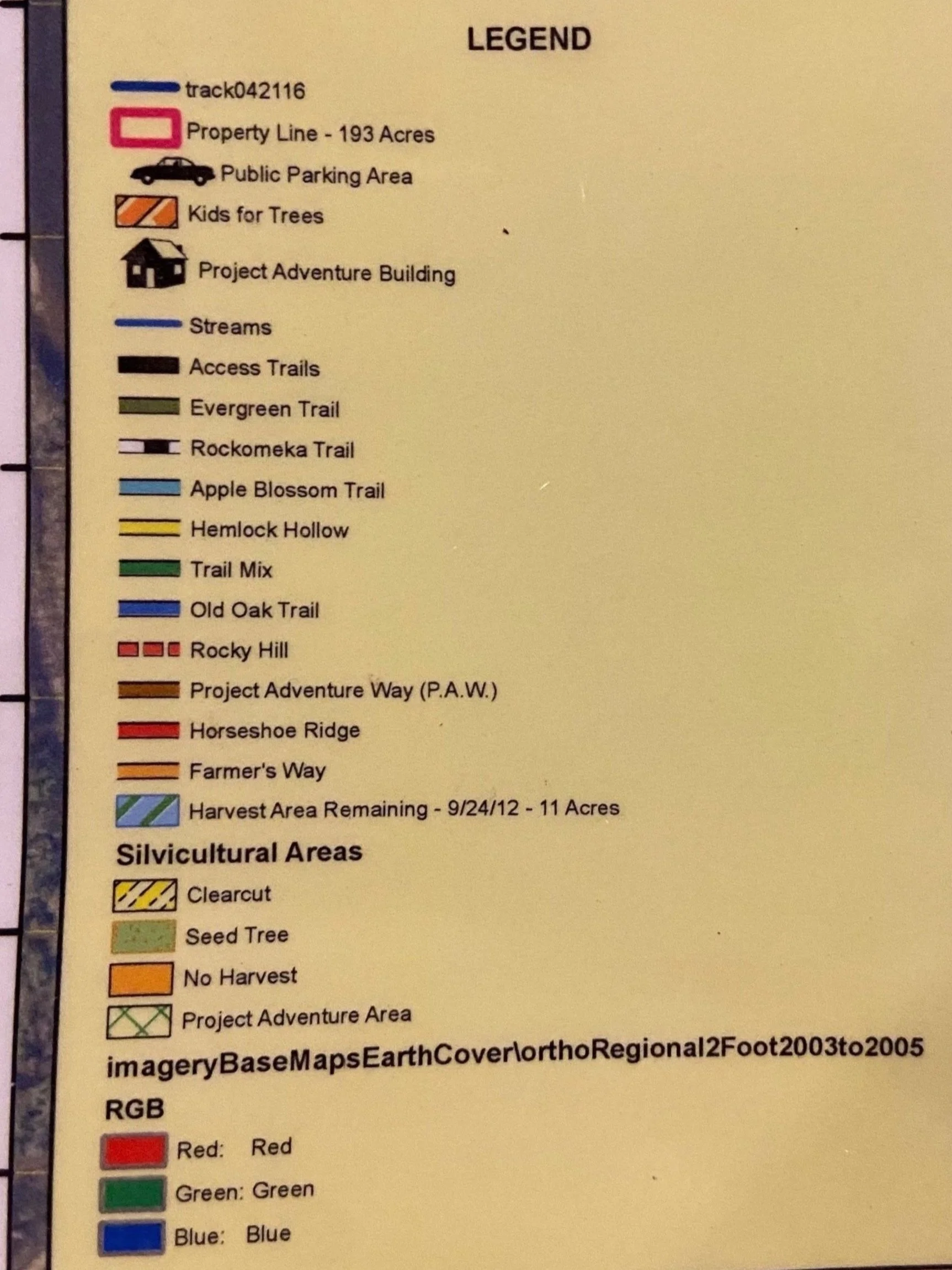
By recording on gps your property's boundary lines, corners, recreational trials, landings, buildings, wells, springs, waterbodies, roads and any other features that may be present we can then download this information into ArcMap® mapping software and generate a well-labeled aerial photograph of your woodlot.
Know your property’s boundaries and features.
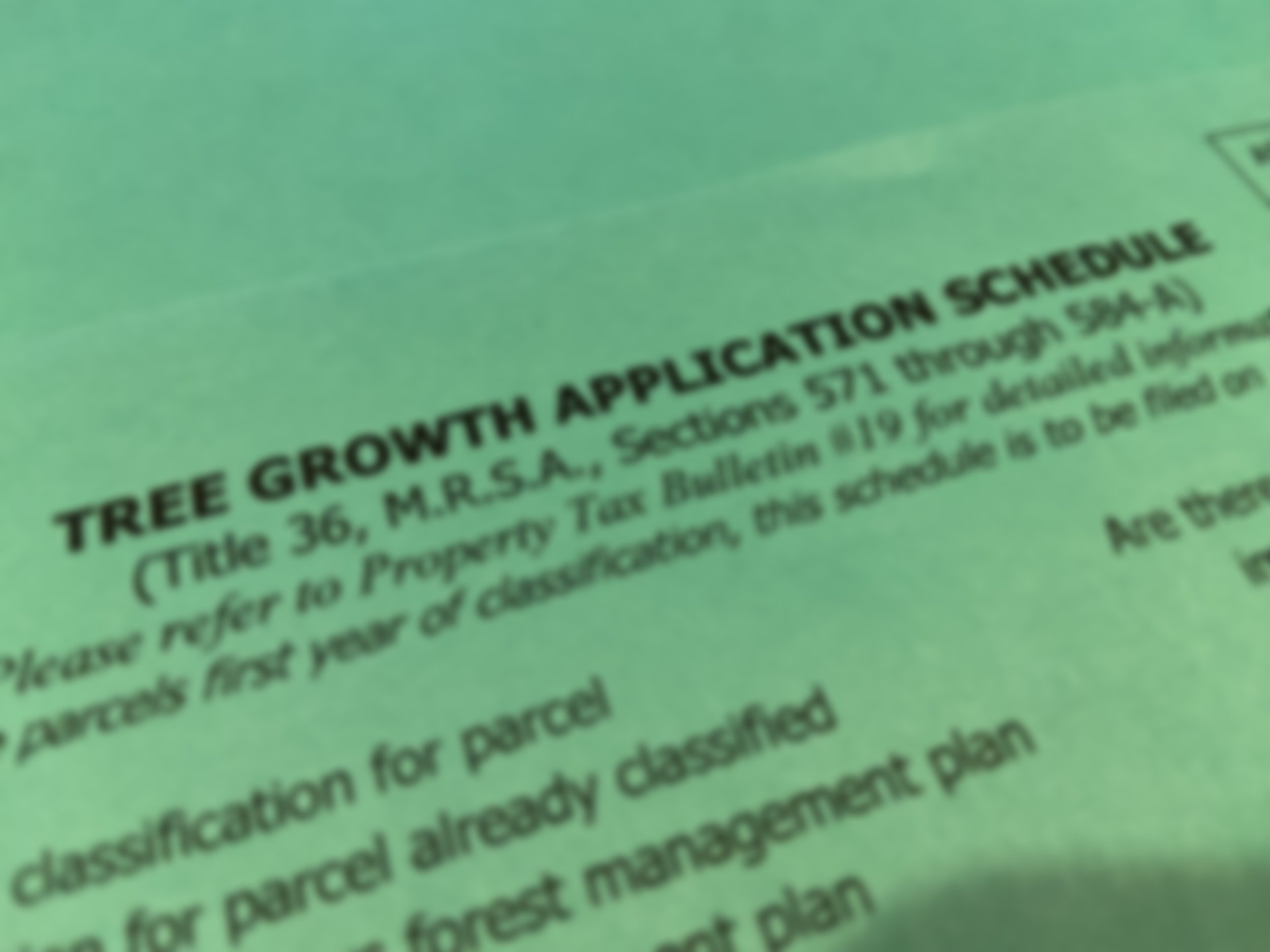
Management Plans
Inventory Cruising
Receive an appraisal of your timber value

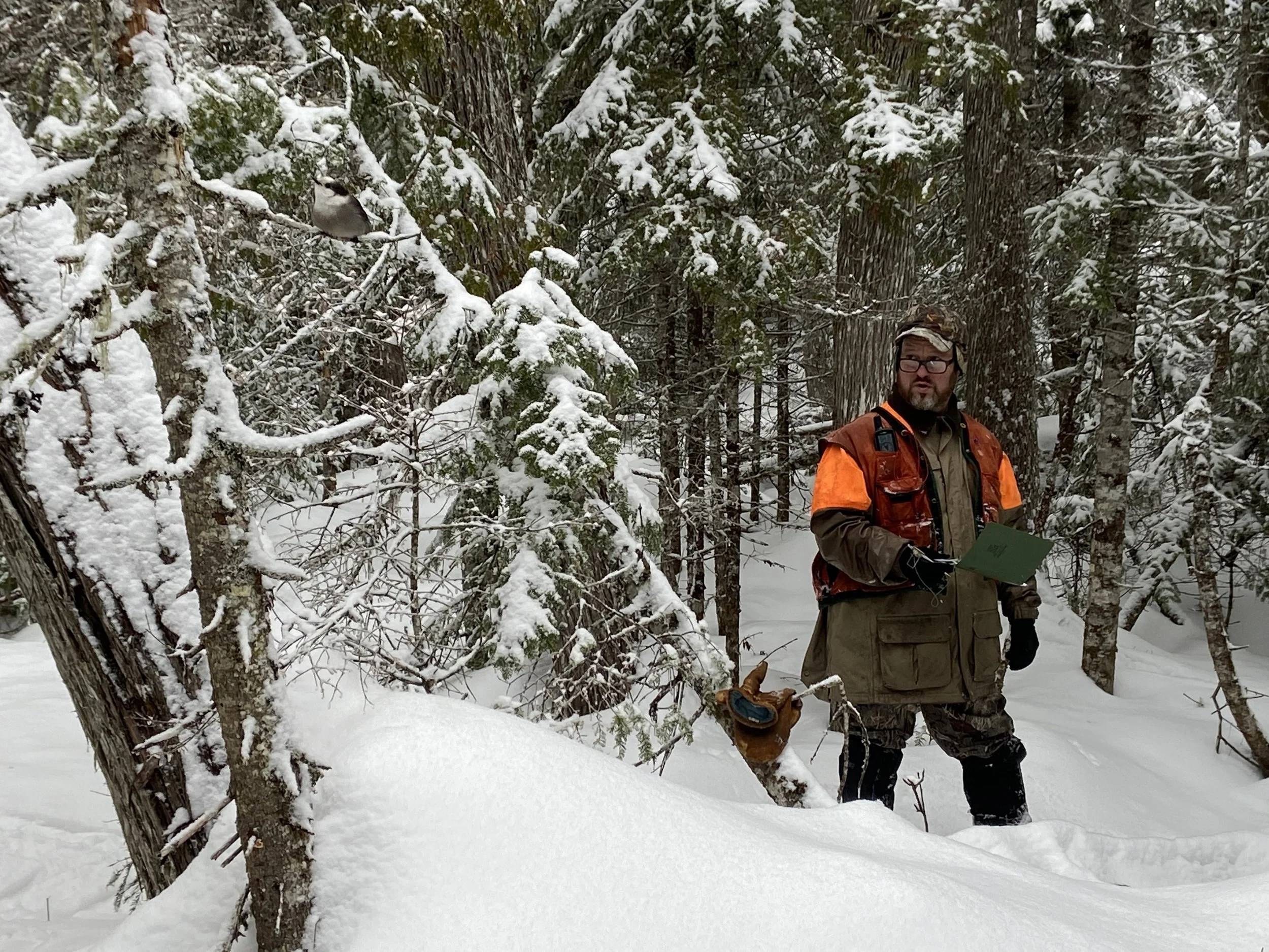
By measuring diameter and estimating the trees height within computer generated random plots on your parcel, we can estimate volume by species and quality for each forest type. Then by multiplying these per acre volumes by species by the acreage for each forest type we generate a timber value for your woodlot.
Trees are measured by diameter tape or calipers and viewed through a 10 BAF (Basal Area Factor) prism.
Discover your timber’s potential.
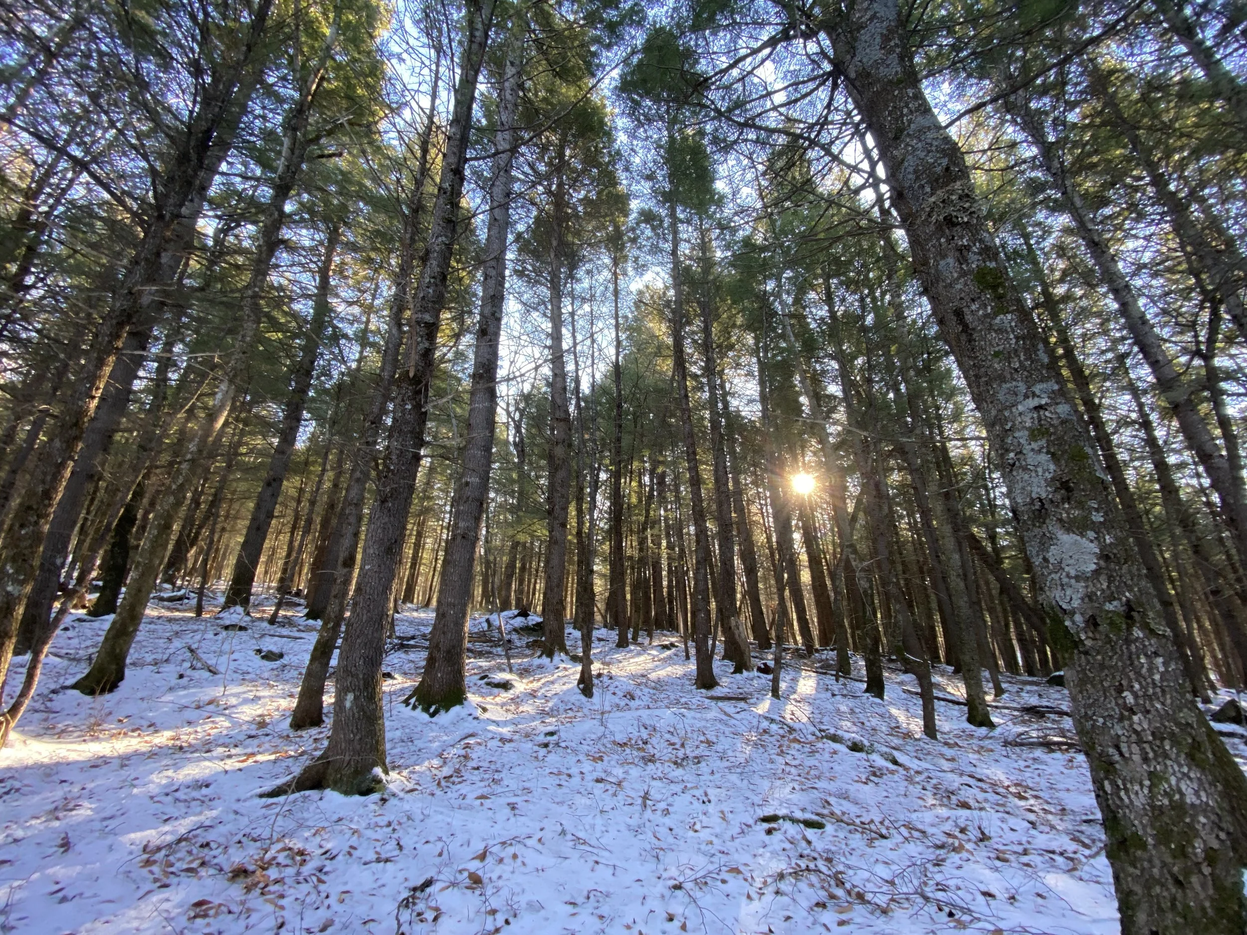
Dendrochronology
Discover the age and stages of growth your trees experience

Prove Your Trees’ Age
What is Dendrochronoolgy you ask?
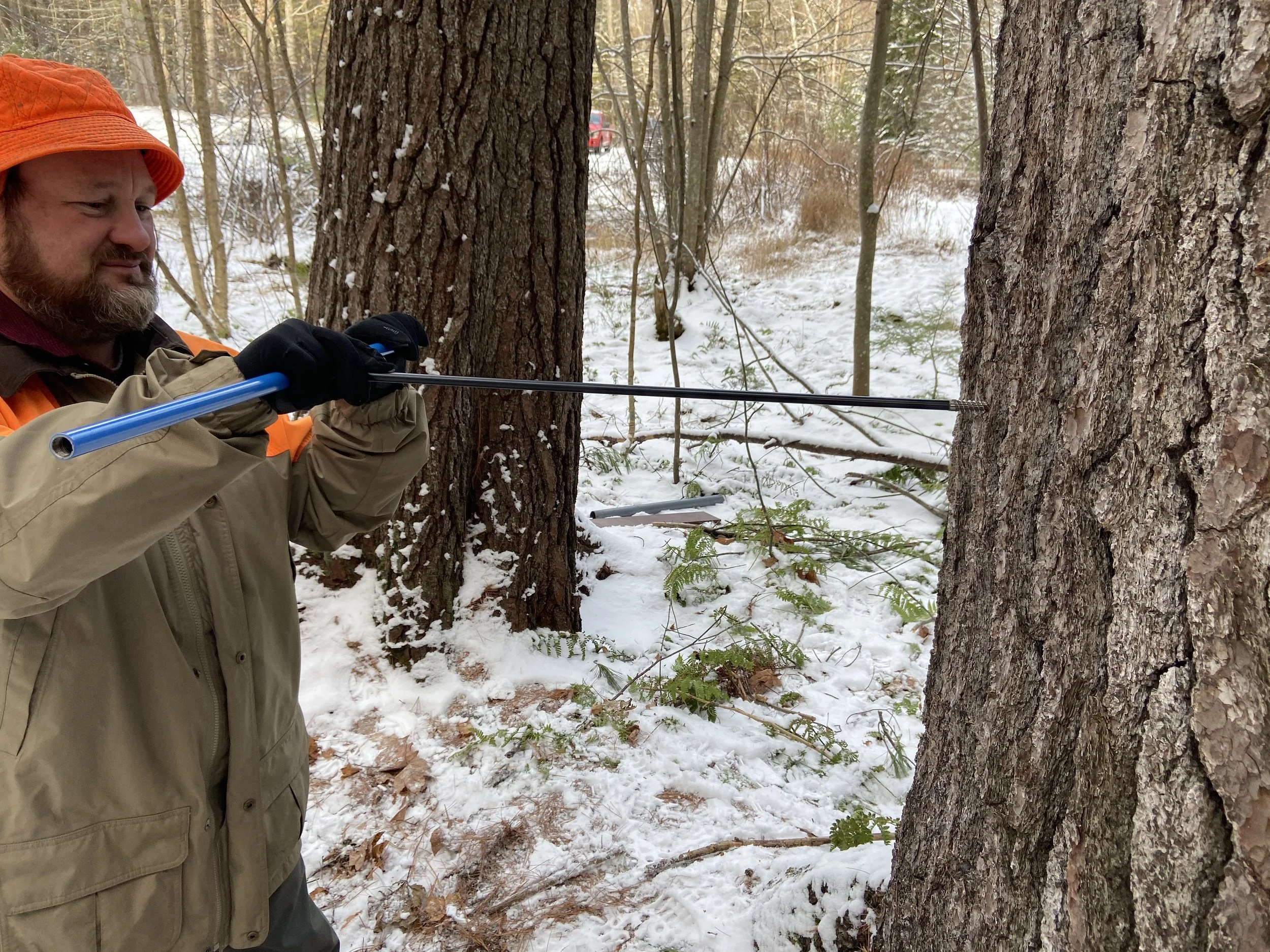
Dendrochronology is determining the age of a tree by counting a trees growth rings. This can help you learn how old a forest is and how well it has been growing.
The process takes place in three easy steps. Measure. Increment Bore. Count the rings. That’s all there is to it. If done properly the center of the tree can be attained and the tree’s age can be accurately determined.